The Virtual Cities Project uses 3D Modeling Software to present lost historic urban landscapes alongside
related historical information . Using our palette of editing tools, users can
create their own 3D cities and link both text and images to landscape features.
Perhaps the greatest challenge we faced with the project was selecting an
appropriate 3D software. We deployed a number of technologies before we settled
on Google Earth, the Google Earth plugin, and the associated toolset and
libraries, which allowed us to shift focus away from implementation and instead
concentrate on developing a database of historical information and 3D models.
While Google Earth remains viable, the end of life of the plugin and the associated API forced us to go back to
finding a suitable alternative technology. In Cesium we have found such an
alternative that, in many ways, is superior to the software it replaced. The images below were captured from working prototypes
such as those found on St. Louis City Neighborhoods .
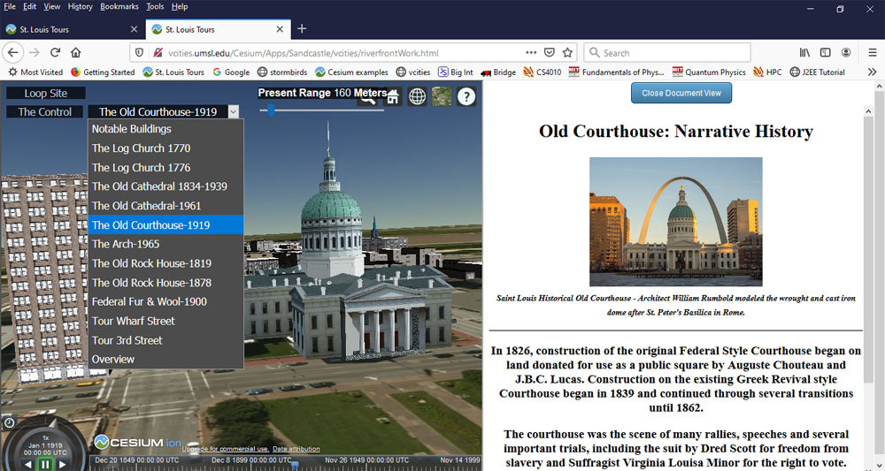
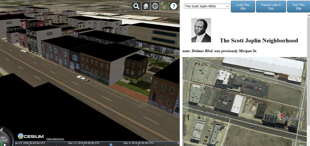
We use Cesium technology to provide context to various
buildings of historical significance.
The Cesium timeline allows us to step through a site’s
history.
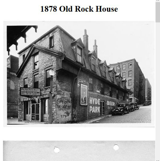
When appropriate, content can be shown in a separate
frame. For example, when a building's historical record contain a number of
documents and images.
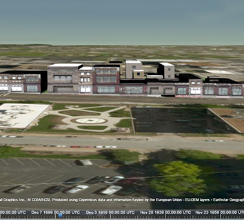
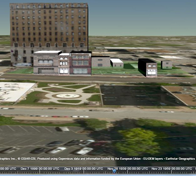
Prebuilt, animated, Guided Tours through more complex urban
landscapes can also be constructed, pointing the visitor to important sites in
that landscape.
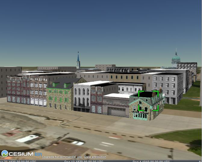
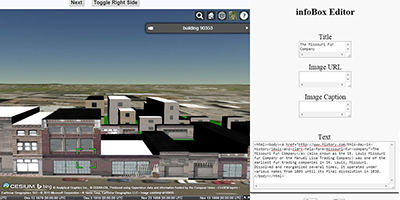
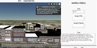
A real-time infoBox editor, shown here before and after the
Test button was pressed, helps in the content creation process.