Welcome to the Virtual City Project |
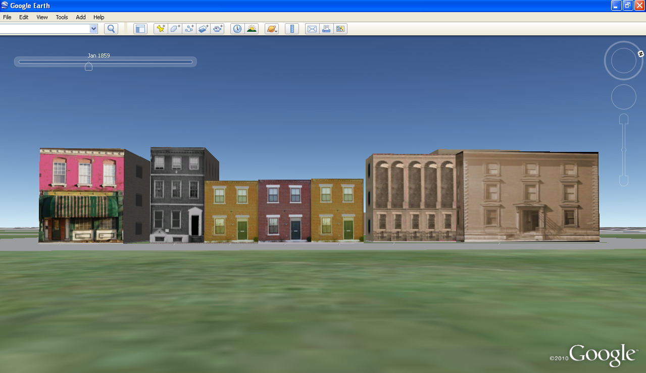 |
The Virtual City Project employs three-dimensional imaging technologies to create electronic representations of lost historic landscapes. Utilizing our palette of editing tools, users can create their own 3-D cities and link both text and images to landscape features.
Virtual Cities Project Sites are viewable using Browser-Based Cesium Technology.
Some examples are:
|
|
Addition sites and documentation can be found on Examples.
|
| |
|
|
|
The most current version of Google Earth Pro can be acquired here. GoogleEarth supports two renderers OpenGL and DirectX and the default will vary by version. DirectX is appropriate for our .kmz files. Switching back a forth between the two is straightforward. Using Google Earth Pro steps through the renderer resetting process and Site viewing for Google Earth Pro.
Editor’s Login (requires username and password)
The Virtual City Project is grateful for support and funding received from the University of Missouri-St. Louis, the Institute for Museum and Library Services, the National Endowment for the Humanities, and the Missouri State Library.
For further information on the project contact Andrew Hurley, ahurley@umsl.edu.
For technical support, contact Jerrold Siegel
jerrold_siegel@umsl.edu